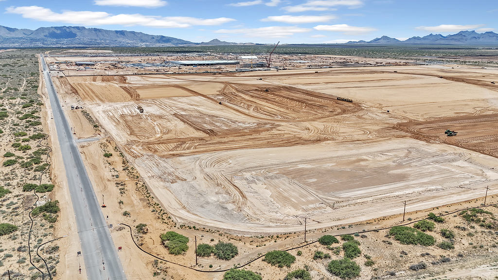
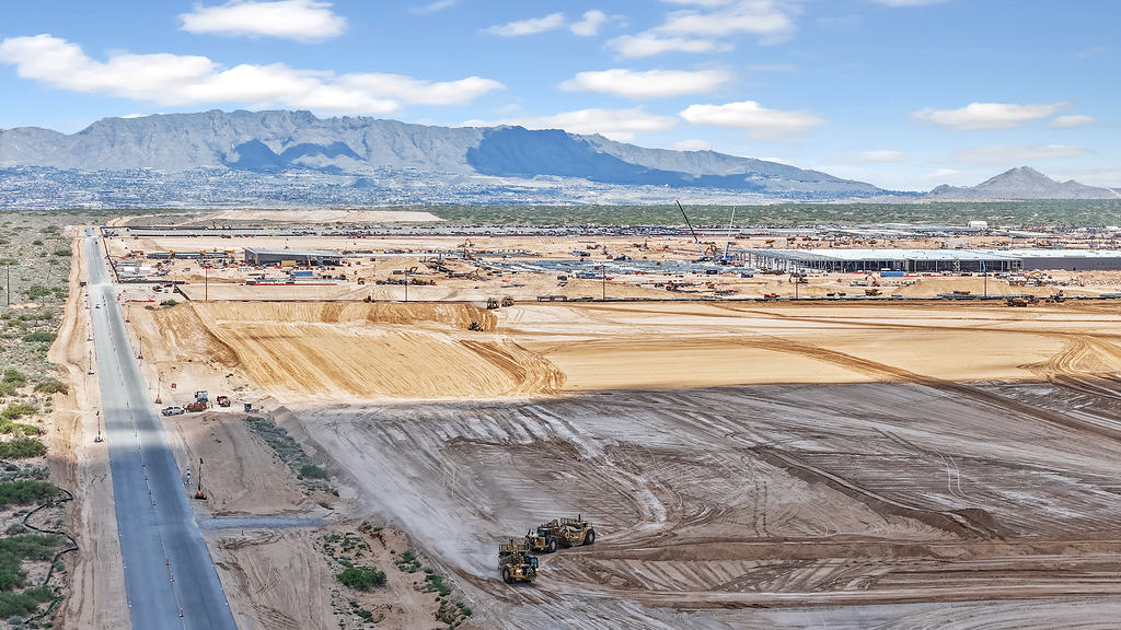
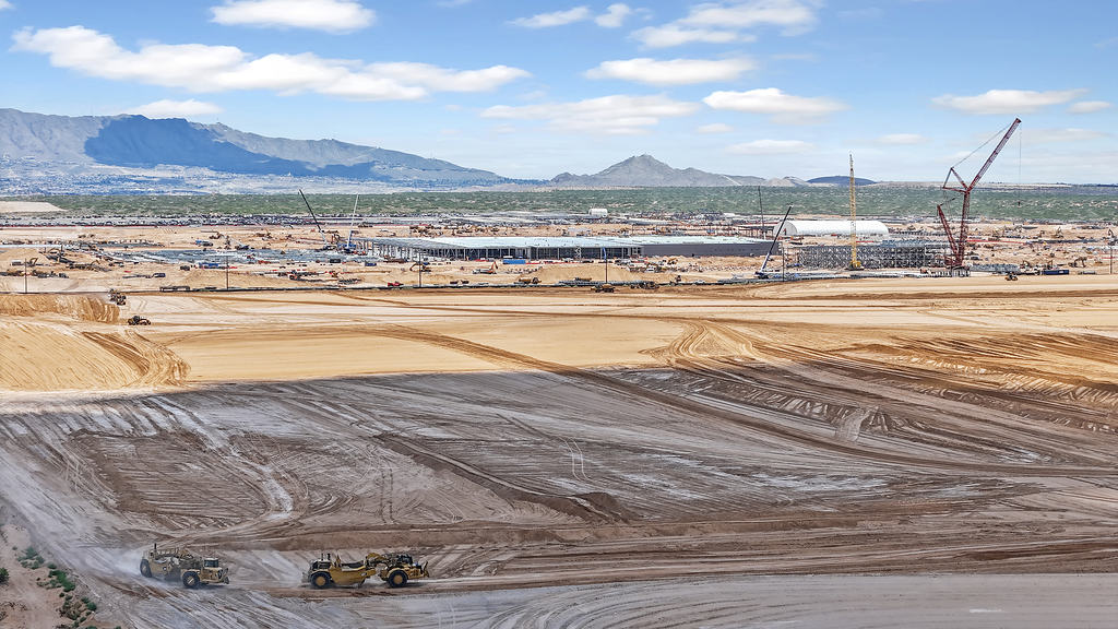
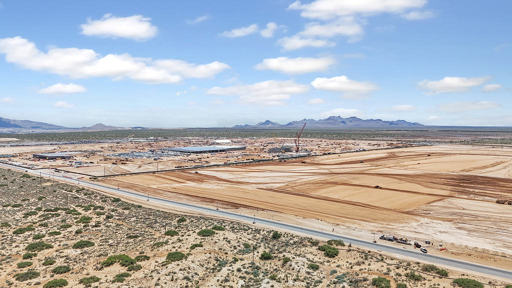
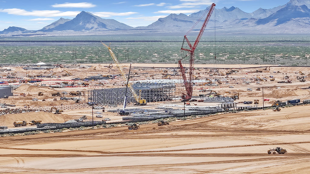
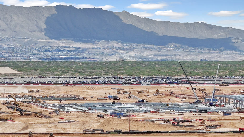
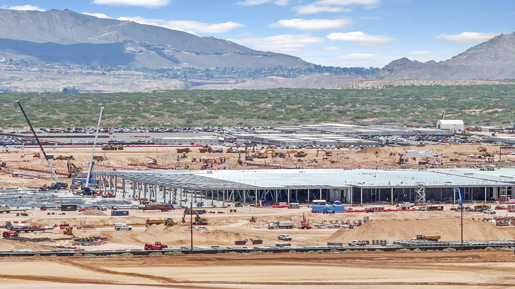
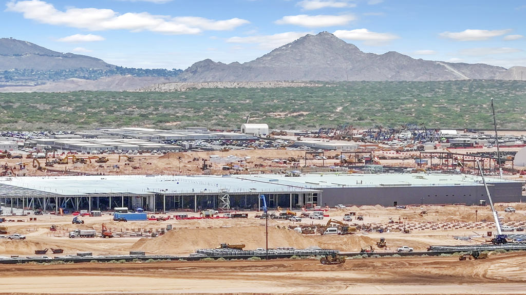
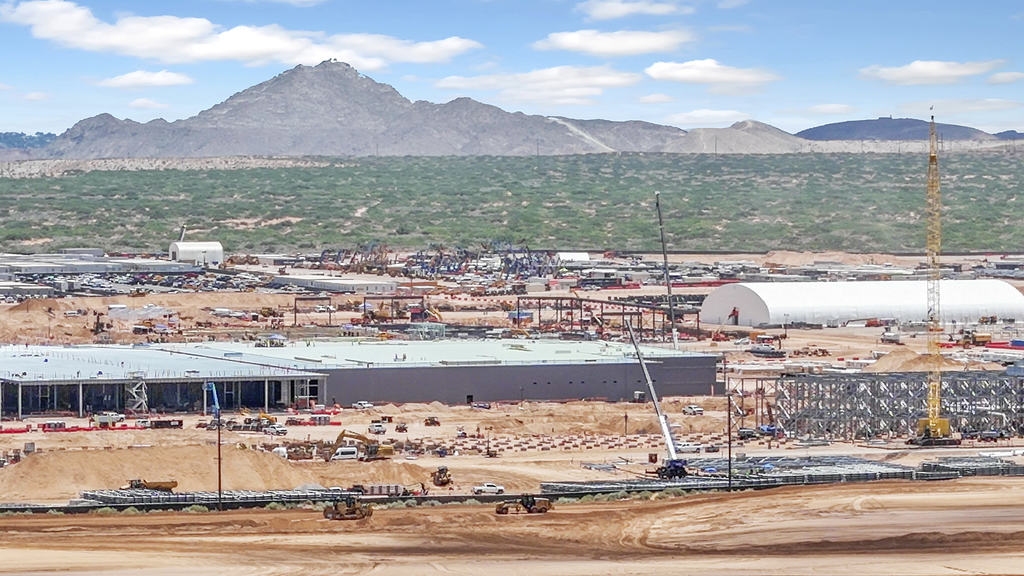
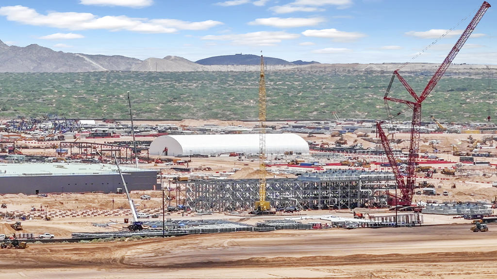
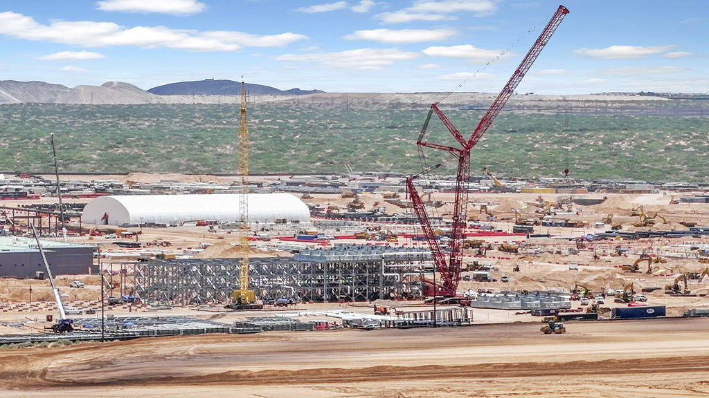
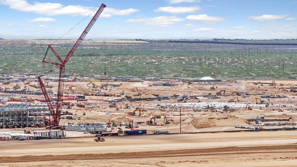
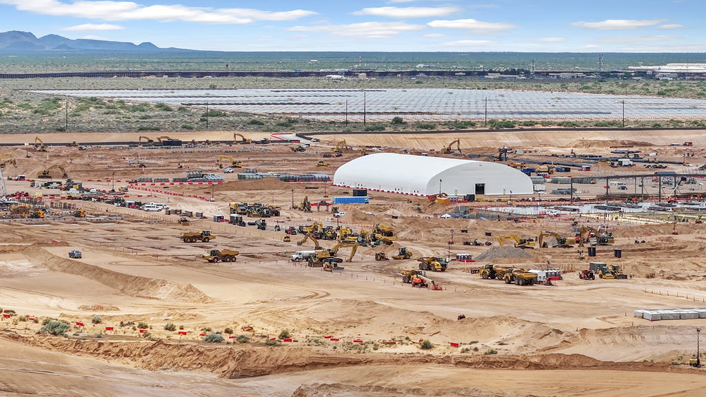
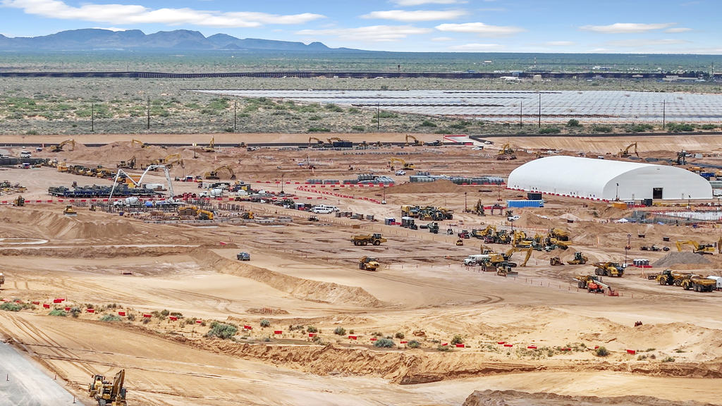
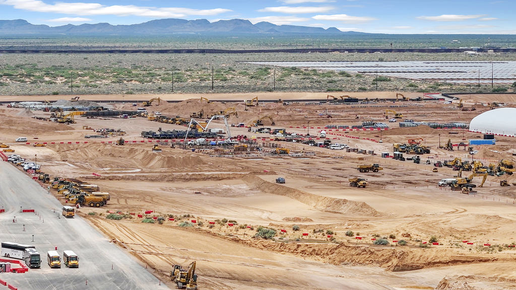
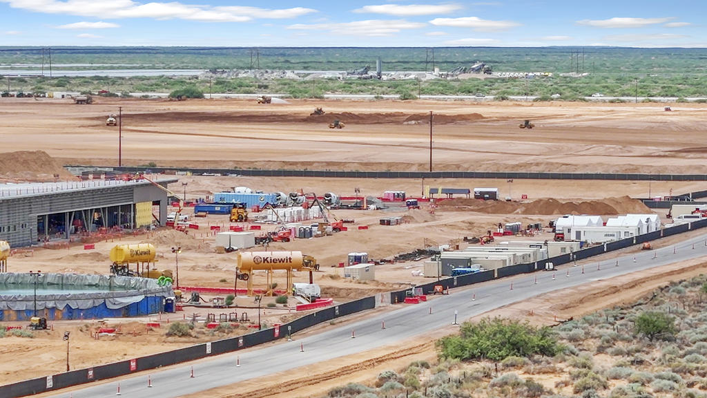
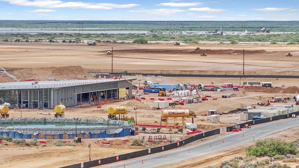
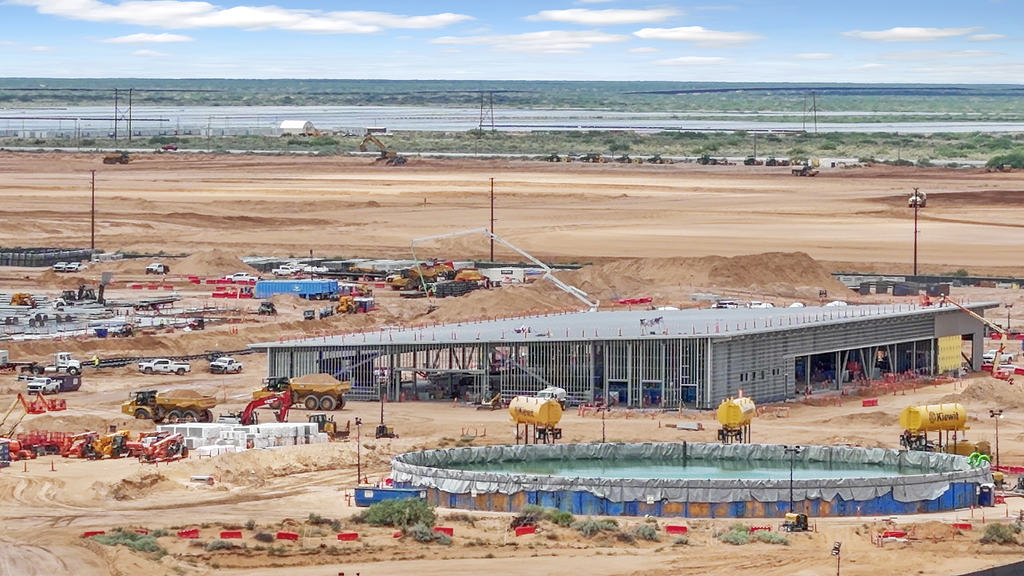
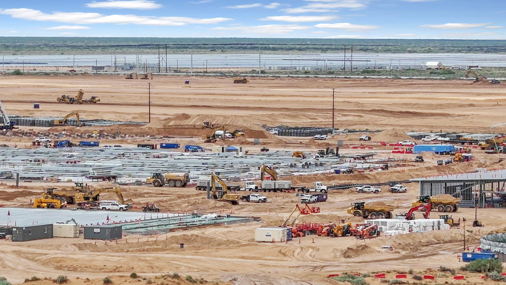
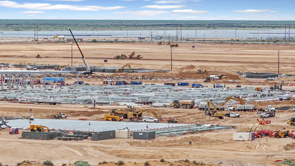
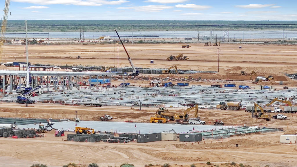
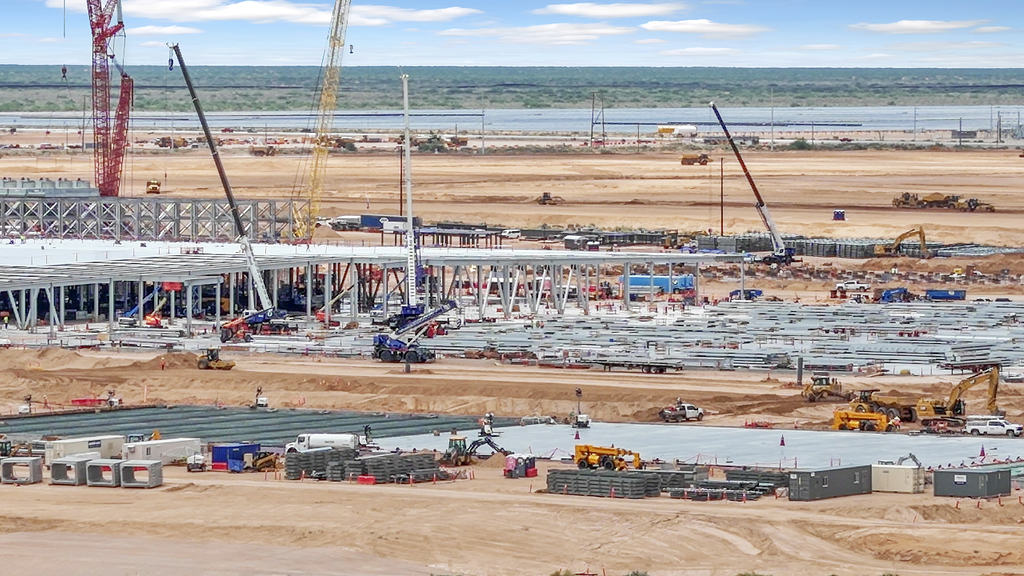
Large-Scale Data Center Development | New Mexico
33 photos
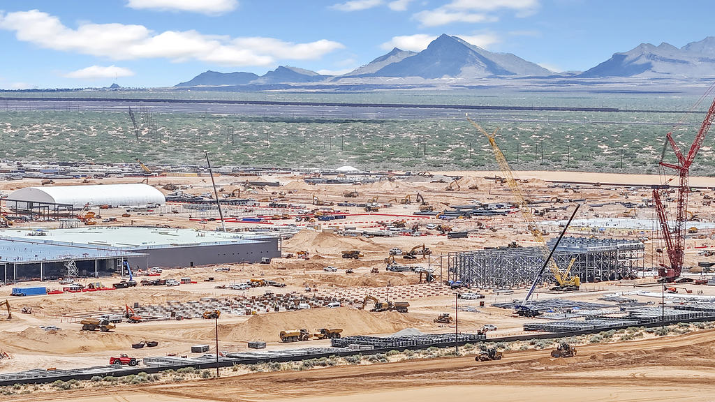
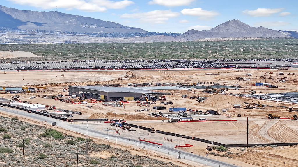
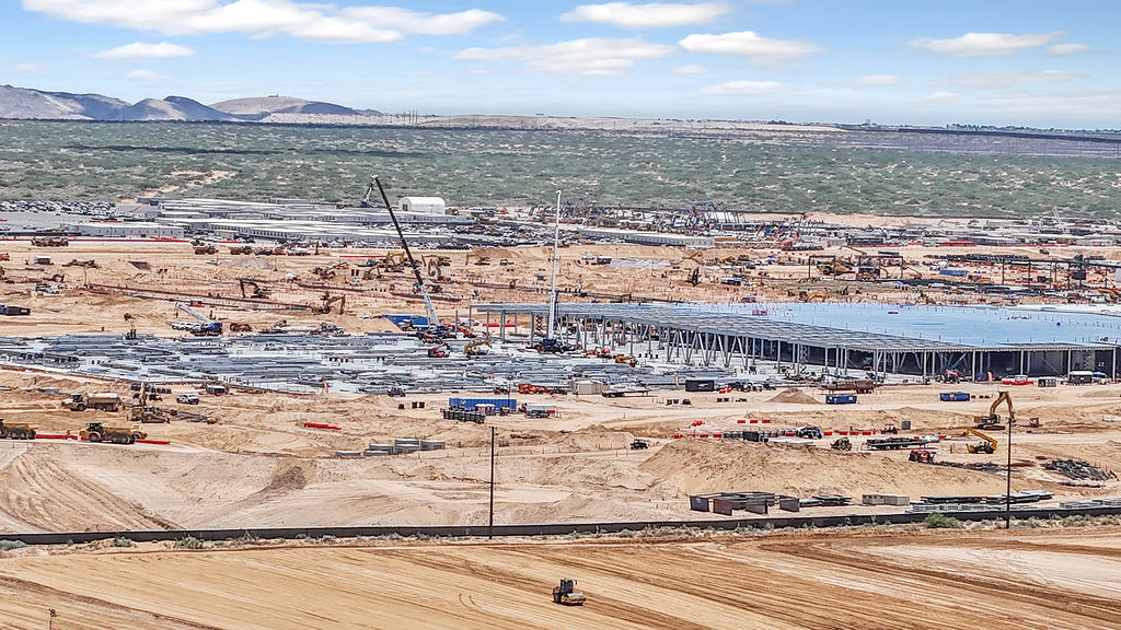
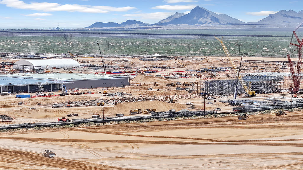
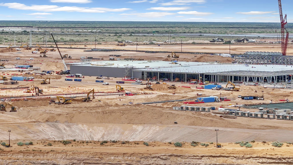
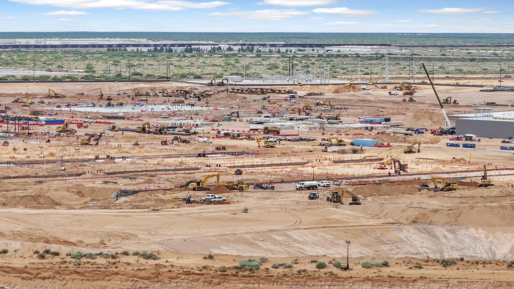
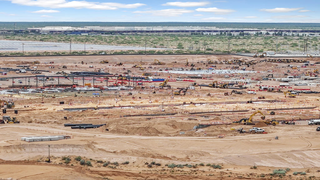
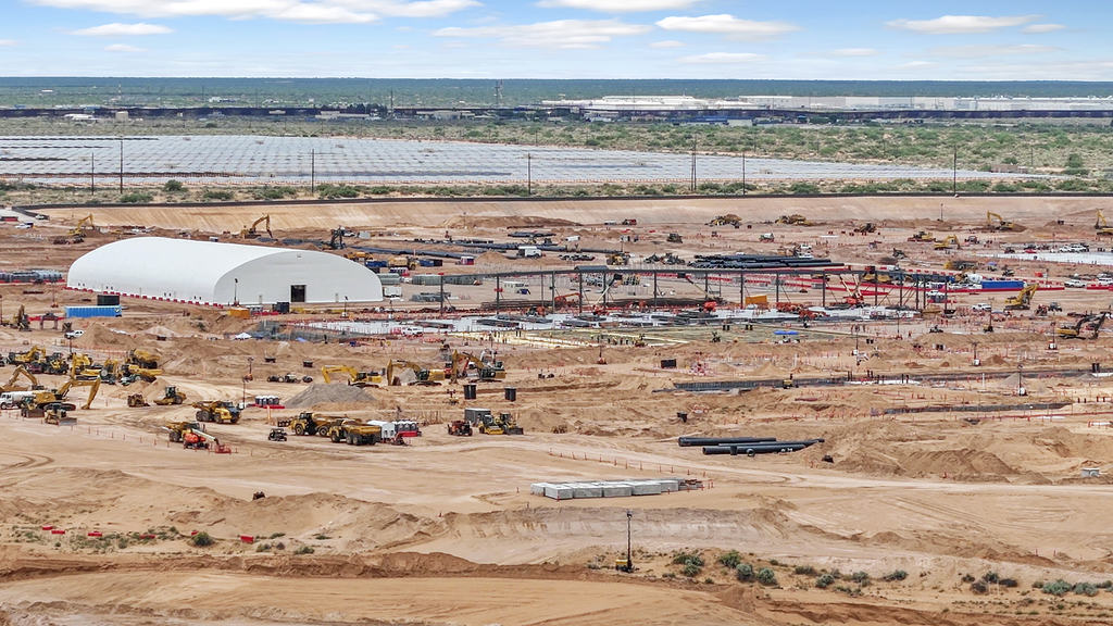
Aerial documentation captured from publicly accessible locations, providing high-resolution visual records of overall site layout, infrastructure, and construction activity to support project documentation and stakeholder reporting.